Berlin and surrounding communities
At the Crossroads
A people-centered history of Berlin and the communities around it, from early roads and Buckingham Academy through the railroad era and the growth of Main Street.
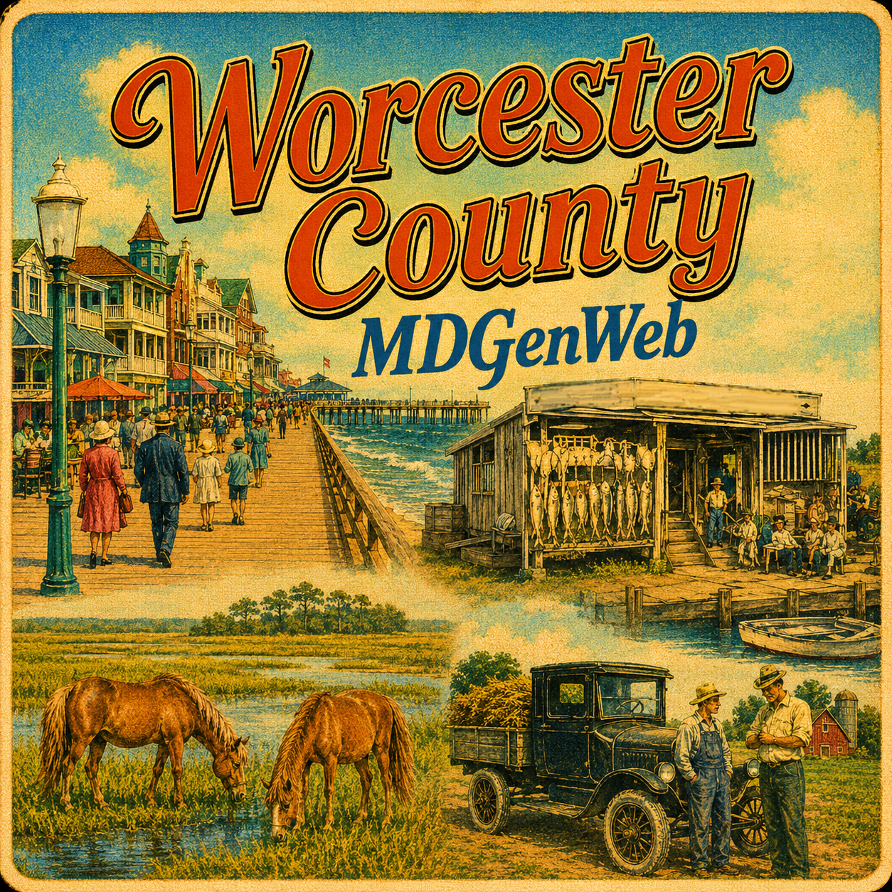
Stories, people, and places
Explore Worcester County through local-history articles, community stories, working-water traditions, storms, transportation, and the changing landscape of Maryland’s Atlantic shore.
Worcester County was formed from the eastern part of Somerset County in 1742. Its communities developed along the Pocomoke River, old roads, farm country, coastal bays, and the Atlantic shore. Snow Hill grew as a river port and county seat; Berlin developed at important crossroads and later became a railroad center; Pocomoke City connected river commerce with the lower county; and Ocean City grew from a small seaside settlement into a major resort.
Worcester’s economy changed with its transportation routes and natural resources. Sail gave way to steamboats, railroads opened new markets for farm produce and seafood, and improved roads brought increasing numbers of visitors to the coast. Storms repeatedly altered the barrier shoreline, most dramatically in 1933 when the present Ocean City Inlet was opened between Ocean City and Assateague.
This page is organized around individual articles and local-history features. Each feature can be expanded as new records, photographs, maps, and local research are added.
Berlin and surrounding communities
A people-centered history of Berlin and the communities around it, from early roads and Buckingham Academy through the railroad era and the growth of Main Street.
Barrier-island history
Early land claims, livestock pasturage, changing inlets, life-saving stations, island communities, and the landscape that became Assateague Island National Seashore.
Working water
Worcester’s Pocomoke River, coastal-bay, and Atlantic watermen: shad fishing, shellfish, pound fishing, fish camps, Assateague communities, boats, storms, and charter fishing.
August 1933
The hurricane that battered Ocean City, destroyed property and transportation links, and opened the inlet that permanently separated Ocean City from Assateague Island.
Old Somerset geography
How Mattapony Hundred helps explain the early geography, roads, settlements, and records of southern Worcester County before Worcester existed.
Local places
Explore Worcester County towns, villages, waterways, barrier islands, old place names, and communities that have changed or disappeared.