Wicomico County Map Room
Official county maps and GIS resources, including base maps, zoning, historic districts, parcels, roads, and other local geographic data.
Maps and geographic research
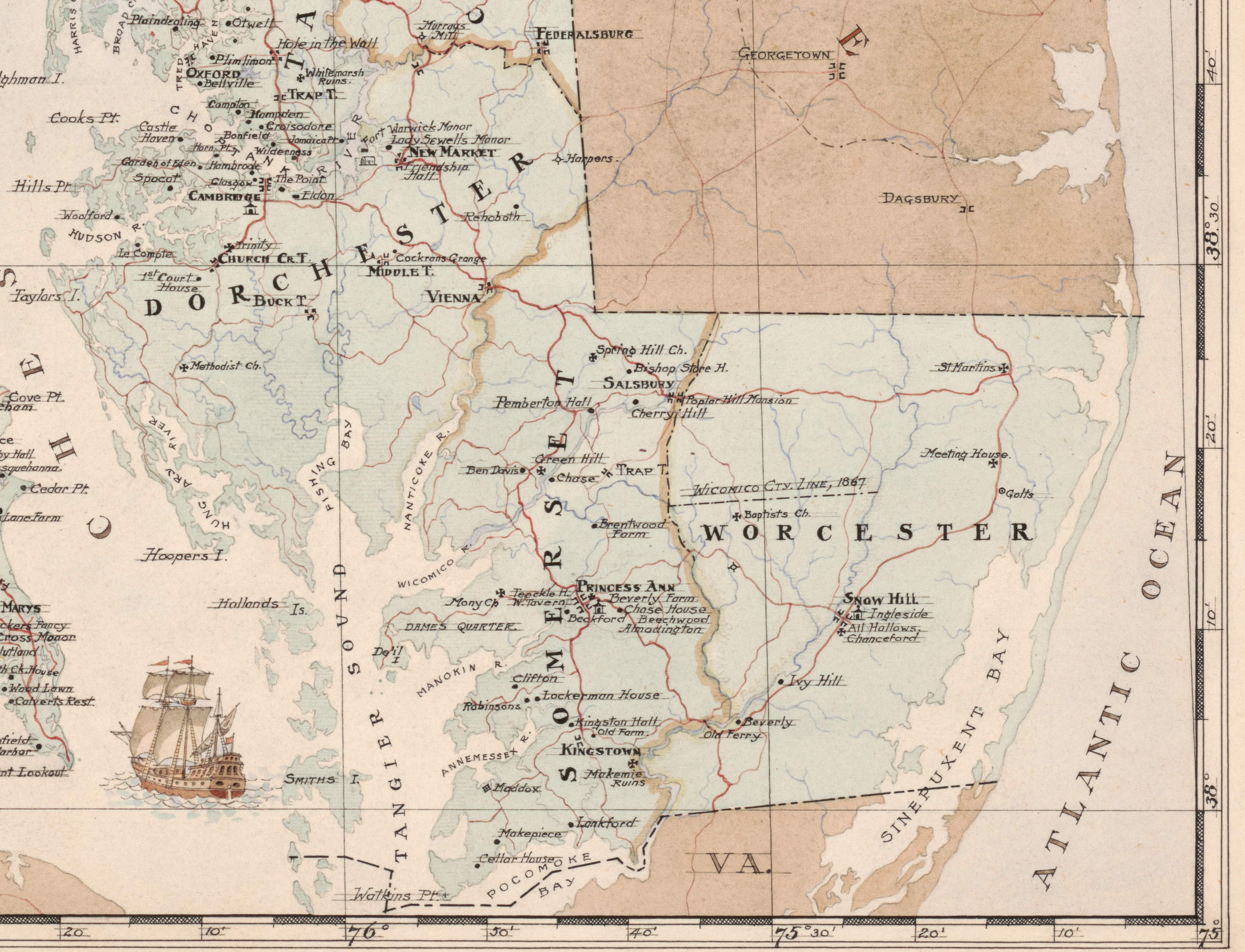
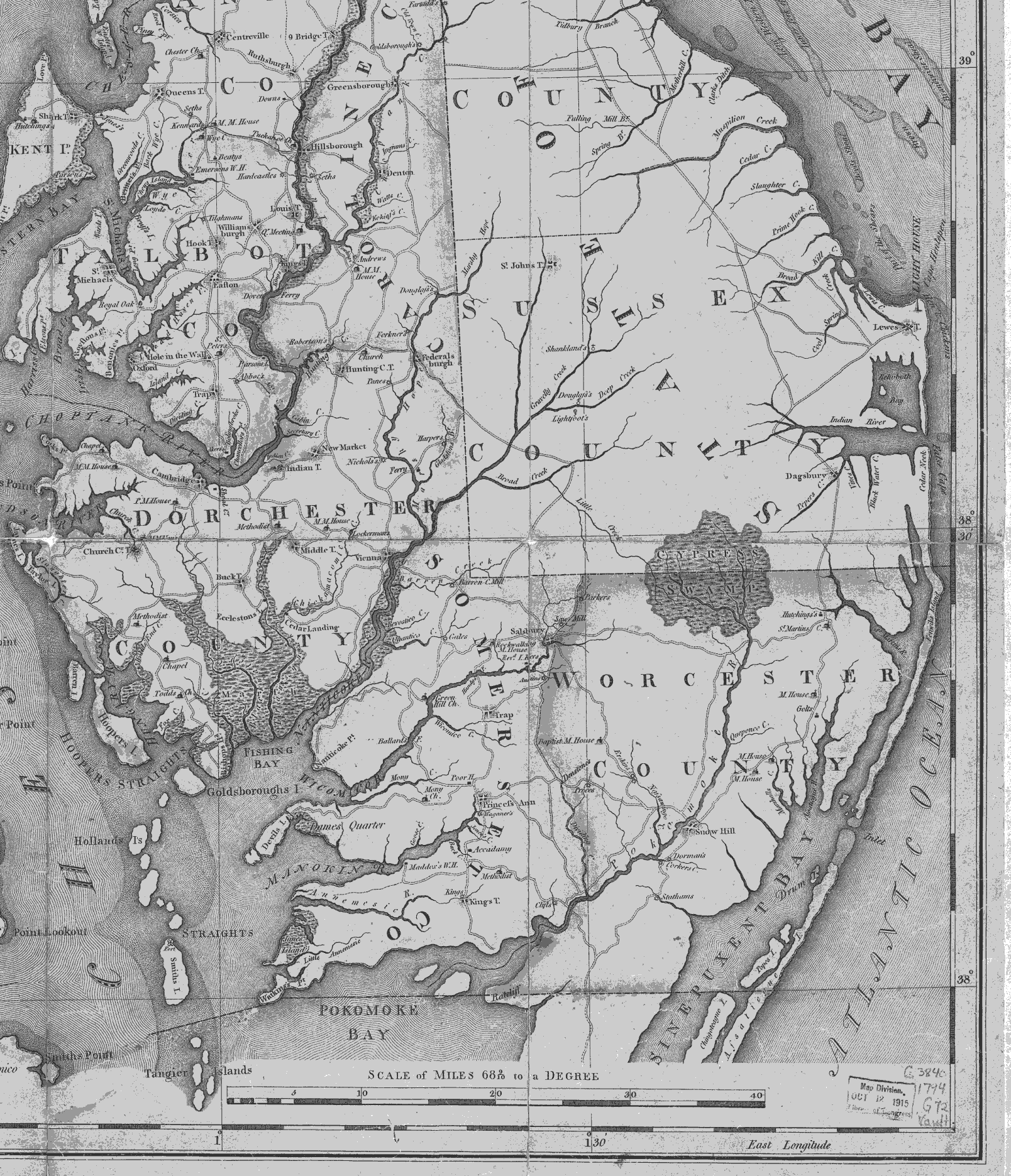
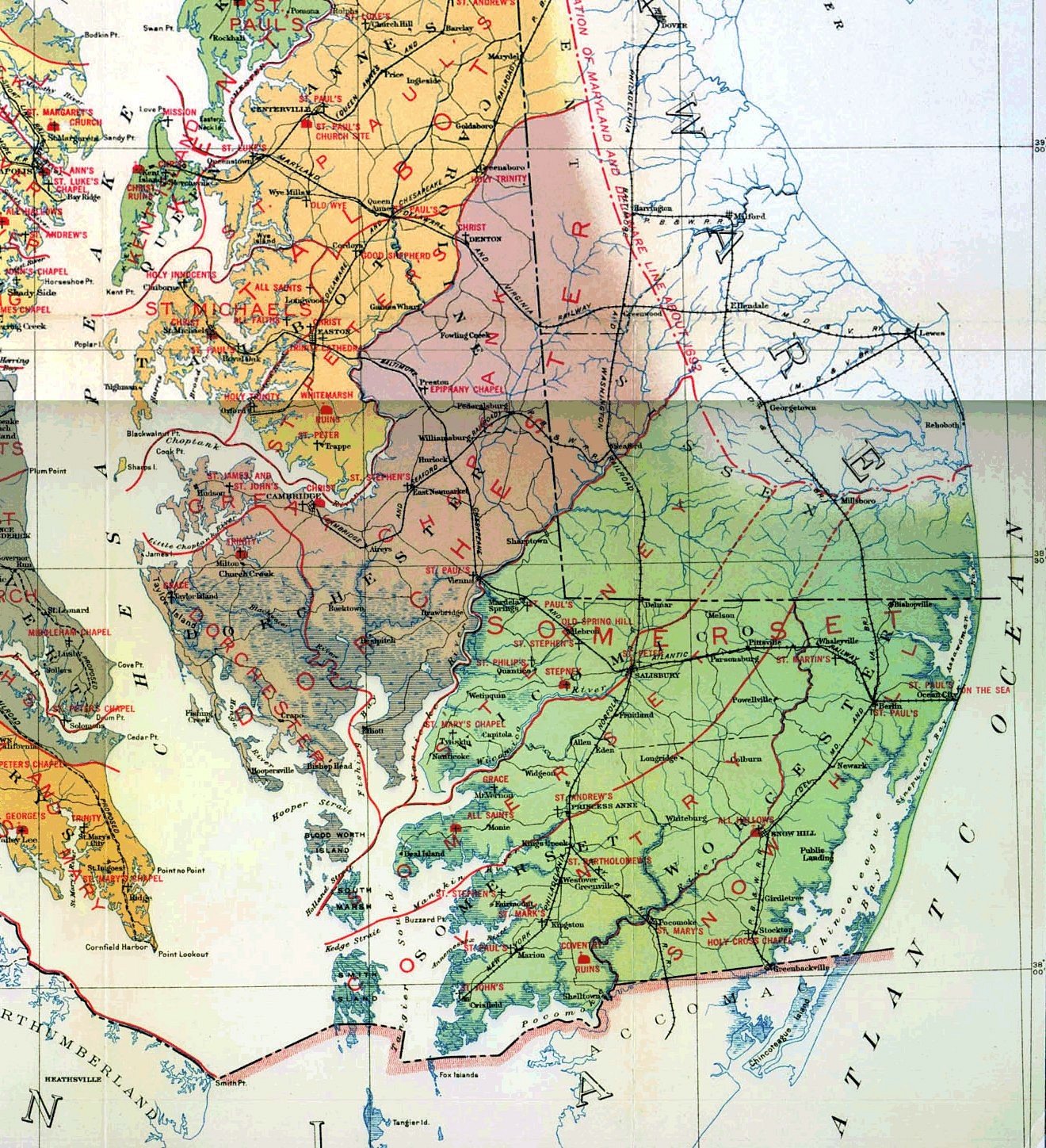
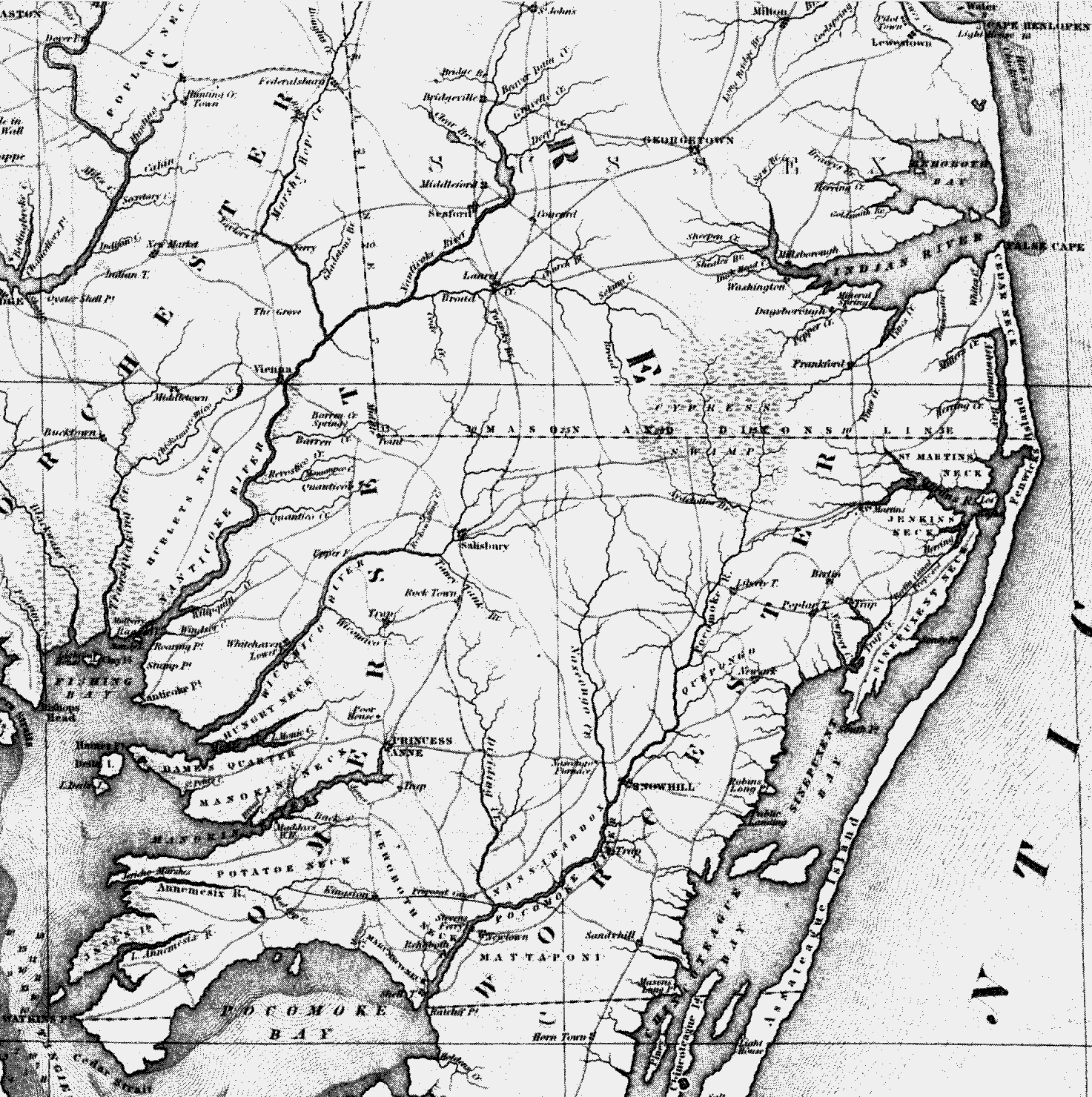
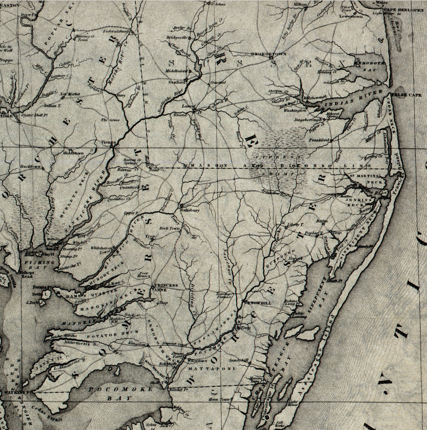
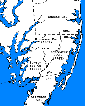
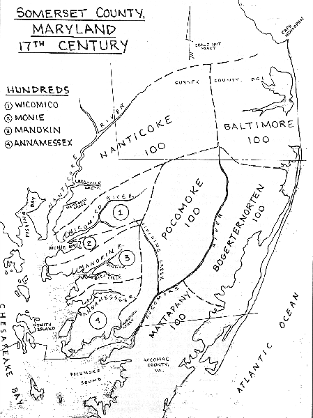
Explore Wicomico County and the Lower Eastern Shore through historical maps, early USGS topographic sheets, rectified atlas maps, cemetery locations, changing county boundaries, and modern GIS tools.
Start here
These are particularly good starting points when you are trying to connect an old record or place name to a location on the ground.
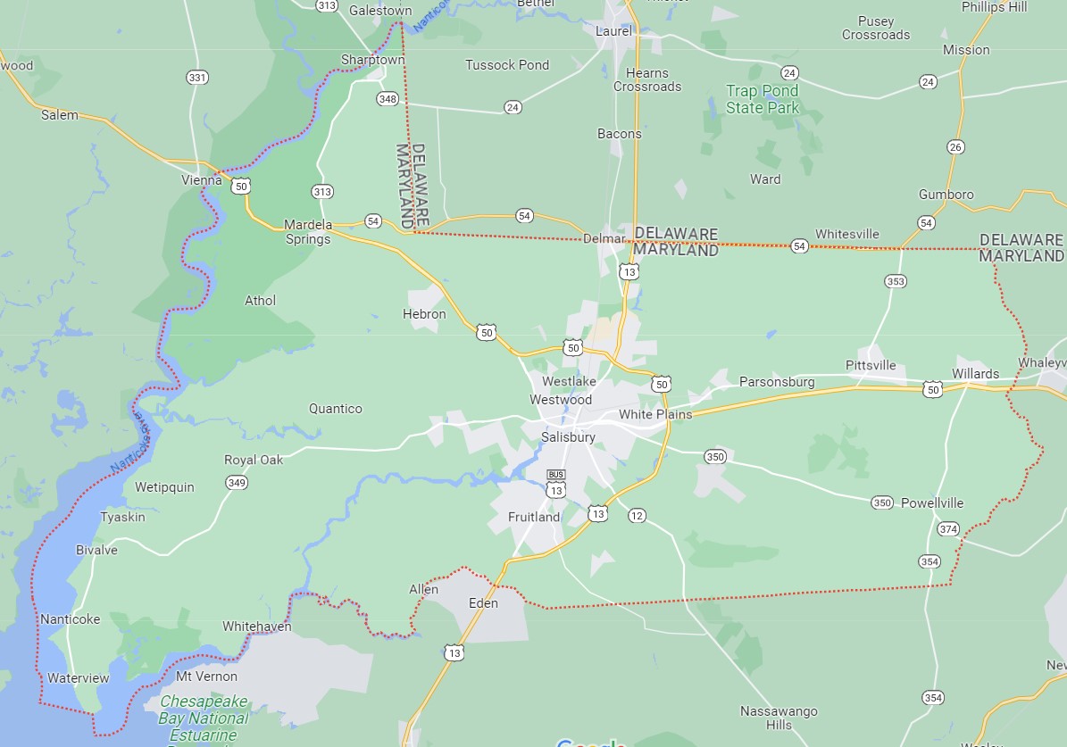
Official county maps and GIS resources, including base maps, zoning, historic districts, parcels, roads, and other local geographic data.
Historic atlas maps aligned with modern geography. These are tremendously useful for comparing old roads, landowners, waterways, and communities with today’s landscape.
Browse and download historical U.S. Geological Survey topographic maps. An excellent tool for seeing older roads, buildings, waterways, place names, and landscape features.
Cemetery research layer: These maps open with only the rectified historic map over the modern road or satellite map. Cemetery locations are hidden by default. On maps that include the cemetery system, use the clearly marked Layers / Cemeteries control to add or remove cemetery locations.