Somerset Cemeteries Project
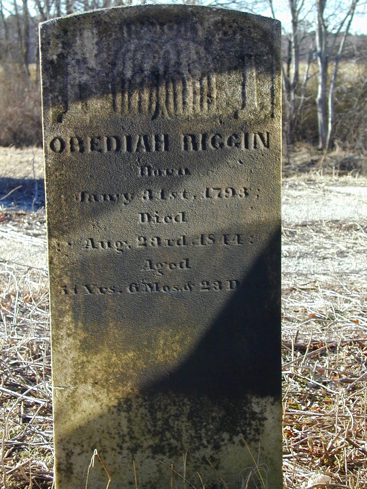
Obediah Riggin Cemetery
Old Rehobeth Road · near Rehobeth Presbyterian Church · Somerset County, Maryland
Cemetery No. 911-GG39-North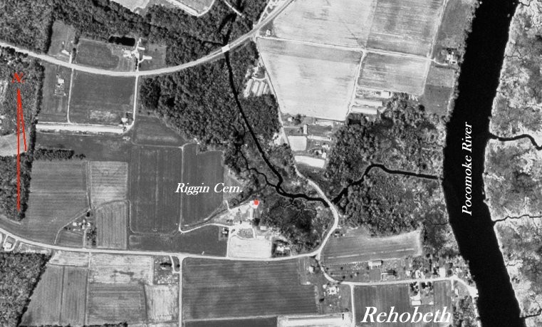
Located on the north side of Old Rehobeth Road about 1/4 of a mile west of the Rehobeth Presbyterian Church and on the south side of a small branch on the west side of the Pocomoke River. This cemetery is probably located on the southern portion of a tract of land called Rehobeth patented on 16 July 1665 by William Stevens for 1000 Acres in the northeastern part of the Brinkleys Election District.
On 29 January, 1824 Anne Boston widow of Elijah Boston, of Baltimore gave to Obediah Riggin part of Rehobeth (R. Dryden page 352).
- Latitude 38 degrees 02.443' north
- Longitude 75 degrees 40.116' west
Site status: Extant when visited in 2003. Current status has not been independently verified.
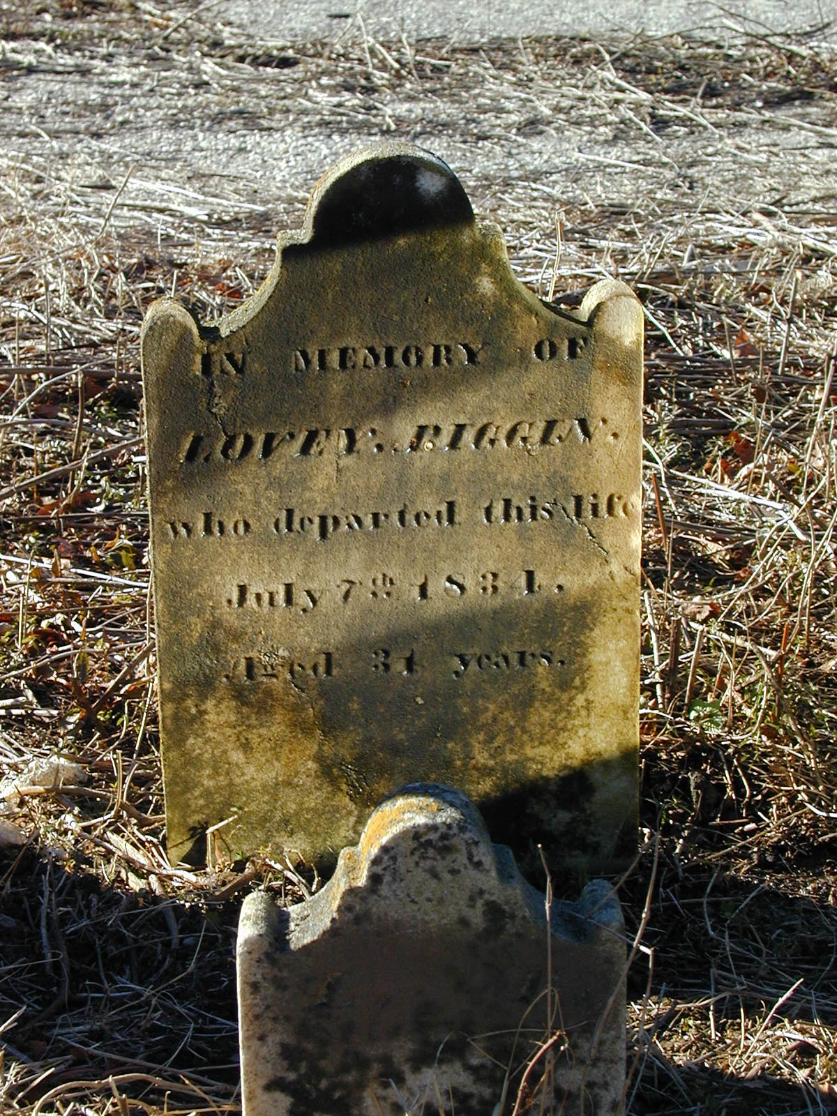
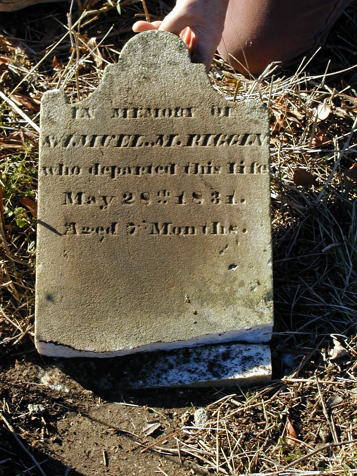
Transcription note: The grave information below is presented as recorded by the contributors. Original spelling, abbreviations, epitaph wording, and transcription notes have been retained.