Mt. Vernon · Harrison Landing Road · Hungary Neck District #5
· 1877 Atlas map: Hungary Neck District No. 5
Cemetery No. 911 - Map G-26 center
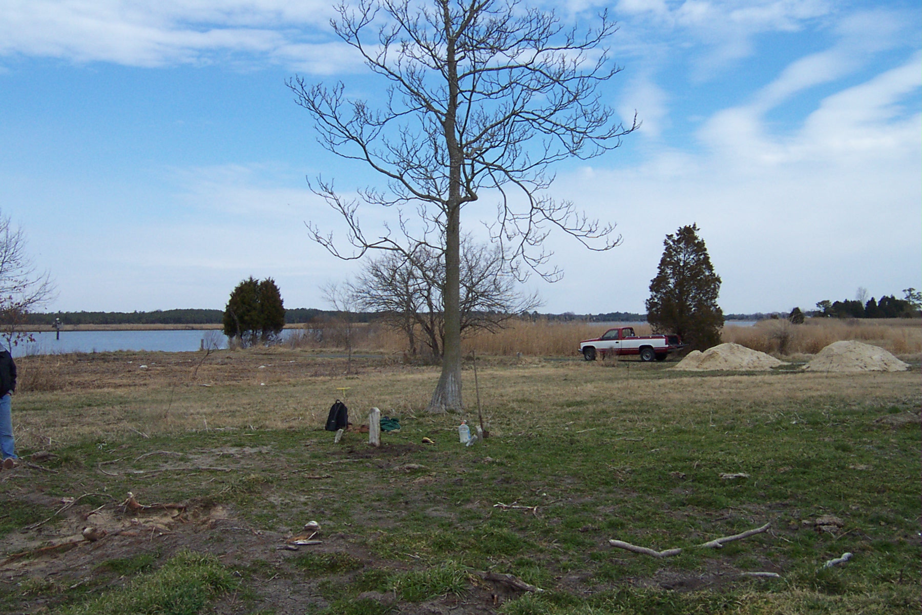
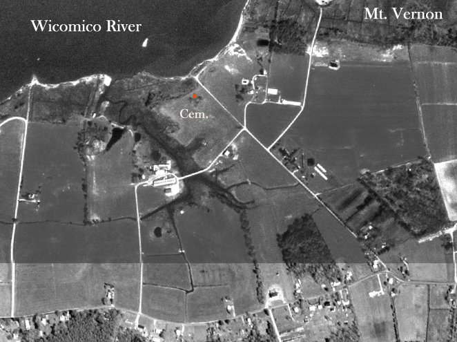
Harris - Overton Cemetery site near the Wicomico River. Click photograph to enlarge.
Located at the end of Harrison Landing Road in Mt. Vernon. The cemetery lies near the north end of a cow pasture, only a few hundred feet from the Wicomico River.
Latitude
38 degrees 15.122' north
Longitude
75 degrees 48.158" west
Transcription note:
The surviving grave information is presented as recorded by the contributors. The James Harris inscription was supplied in the contributor record from another source because the stone was no longer present.
Graves Recorded
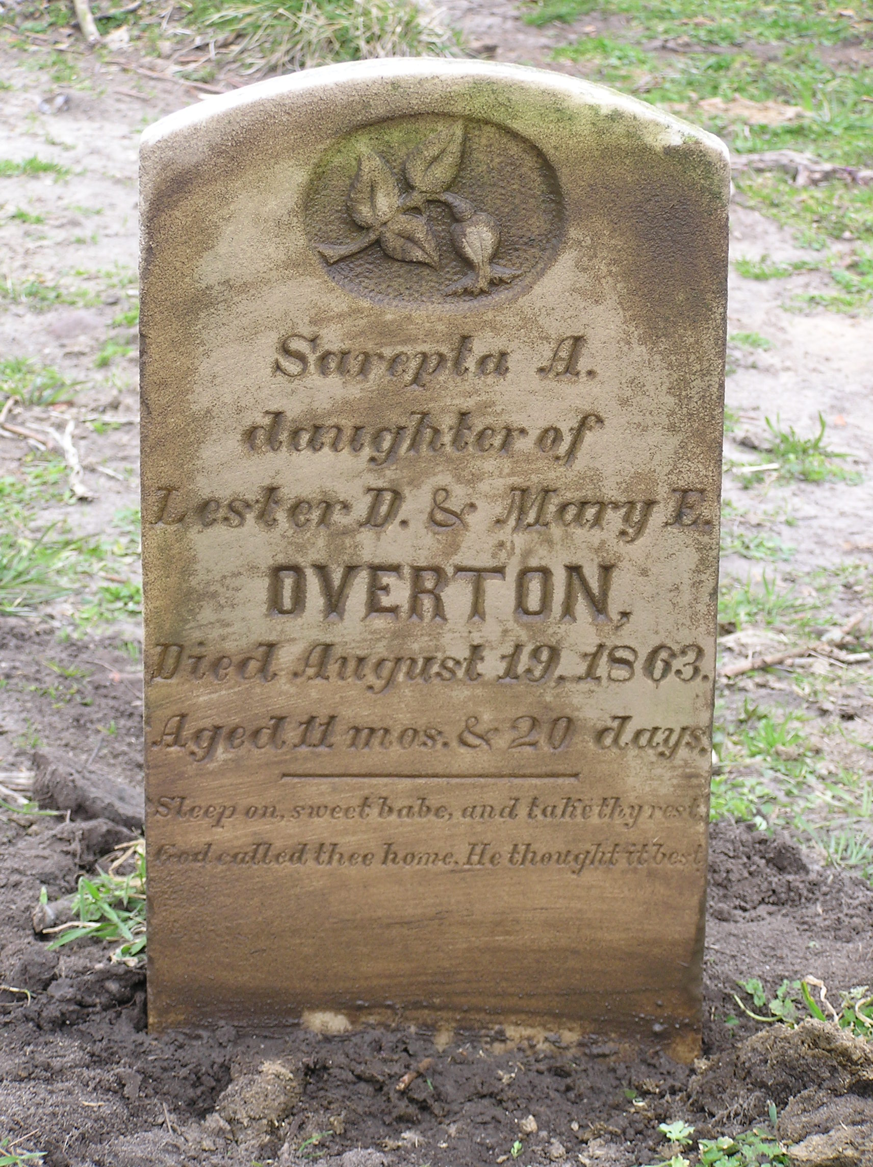
Sarepta A. Overton Click photograph to enlarge.
Sarepta A. Overton
Transcription
Sarepta A.
Daughter of
Lester D. & Mary E.
Overton
Died August 19, 1863
Aged 11 mos. & 20 days
Sleep on, Sweet Babe, and take thy rest
God called thee home, He thought best.
James Harris
Transcription
James Harris
Who departed this life
November 6, 1842
Aged 77 years.
No photograph of the James Harris stone was included; the contributor reported that the stone had been broken off at ground level and apparently removed.
Contributor note:
This inscription was supplied from other sources after the stone had been broken off at ground level and apparently removed from the site.
Cemetery and Research Notes
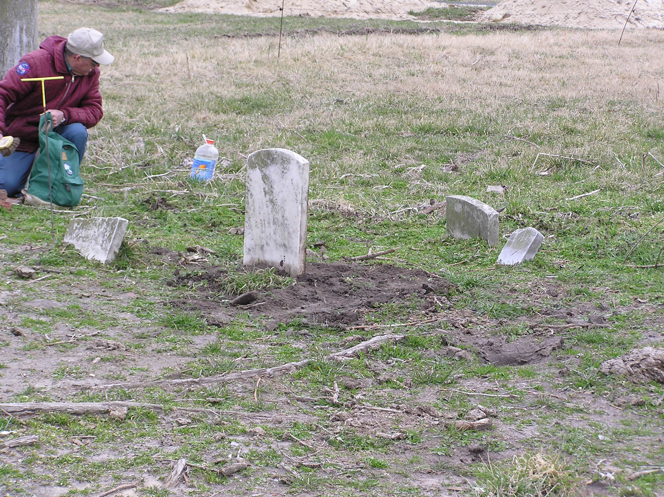
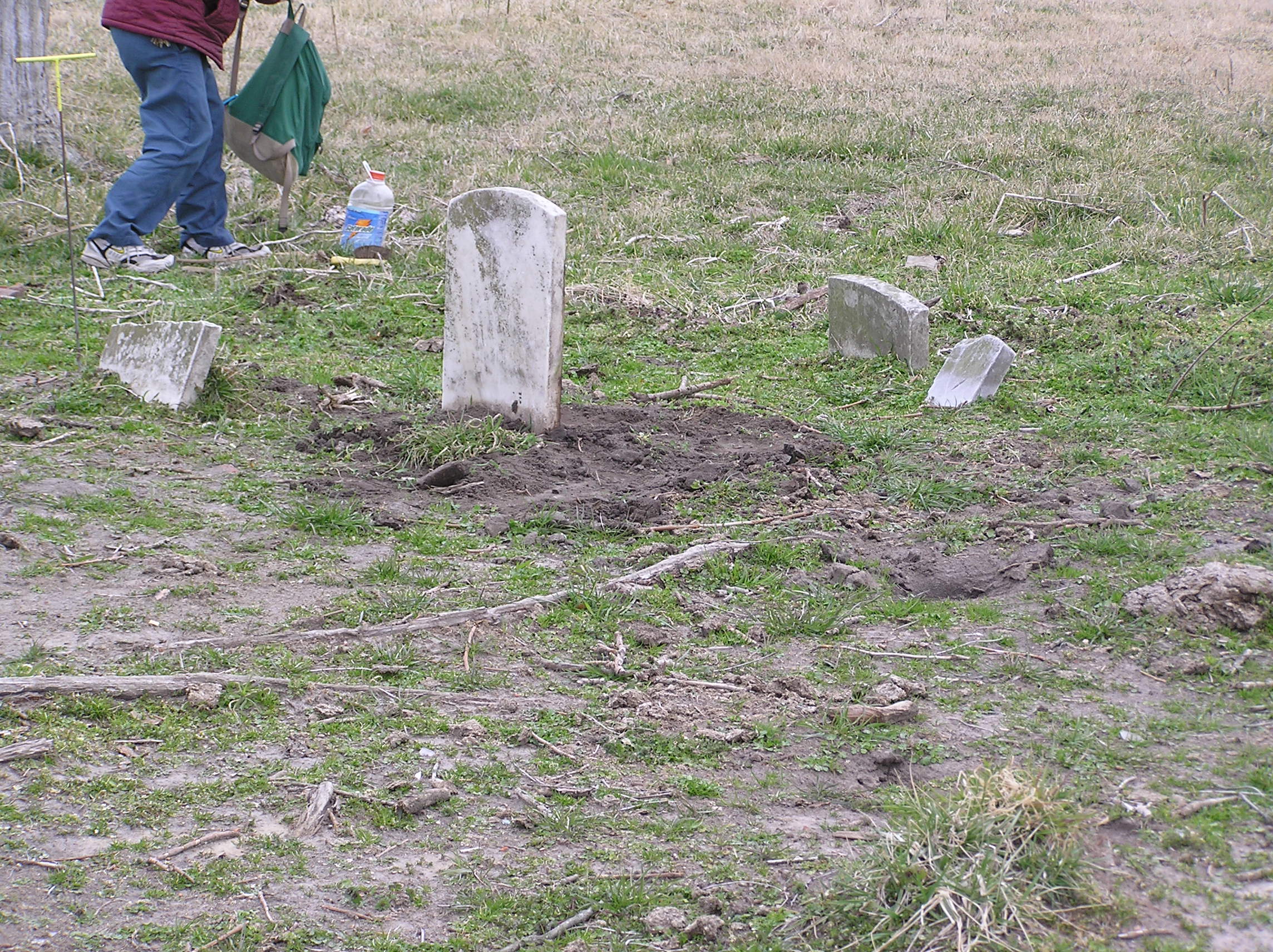
The burial site was described as being in poor condition and recently vandalized. On March 14, 2004, only one stone remained. The area was in the north end of a cow pasture a few hundred feet from the Wicomico River.
The 1877 Atlas showed a house and store at this location owned by Mrs. M. E. Overton (identified in the contributor’s note as probably Mary E. Overton). The contributor also wrote that the cemetery was probably on the tract called
Fathers Care
, patented to Thomas Dashiell on October 11, 1737.
Listed by:
Ed Smith and Philip L. Goldsborough
Date recorded:
March 14, 2004
Additional Photographs and Maps
Additional view of the cemetery. Click to enlarge.
Additional view showing the surviving stone and other markers. Click to enlarge.
Contributor map of the cemetery location. Click to enlarge.