Somerset Cemeteries Project
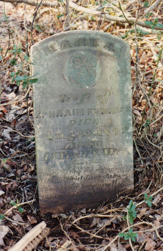
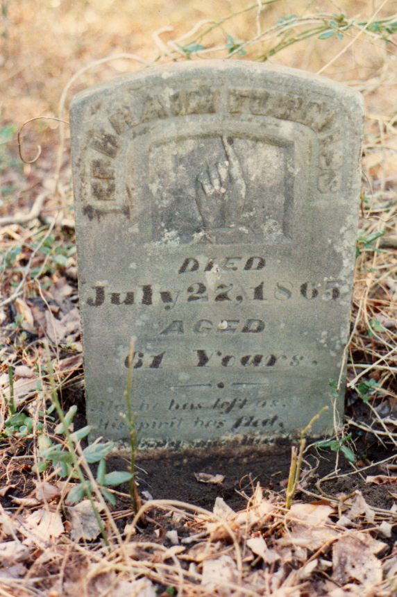
Furniss Cemetery
Mt. Vernon · behind John Wesley Church on Mt. Vernon Road · Hungary Neck District #5 · 1877 Atlas map: Hungary Neck District No. 5
Cemetery No. 911 G-29-SW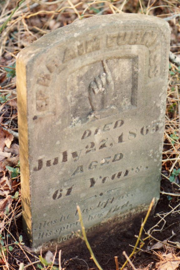
Located on the north side of Maryland Route 362 (Mt. Vernon Road), behind John Wesley Church, up a private road on the west side of the churchyard.
The contributor described the route as 5.2 miles west of the intersection of U.S. Route 13 and Maryland Route 362, then north about 375 feet on a private dirt road and west about 25 feet to a small cemetery in the woods.
- Latitude 38 degrees 14' 54.5" North Lat.
- Longitude 75 degrees 46' 40" West Long.
- Map Source 7.5 Min. Series Topographic Map, Monie Quadrangle, 1972; measurements estimated as plotted on the map.
Transcription note: The grave information and field notes below are presented as recorded by the contributors.