Somerset Cemeteries Project
Dixon Cemetery
Charles Cannon Road · Brinkley’s District · near Marion Station, Somerset County, Maryland · 1877 Atlas map: Brinkley's District No. 3
Cemetery No. 911-EE-28-NE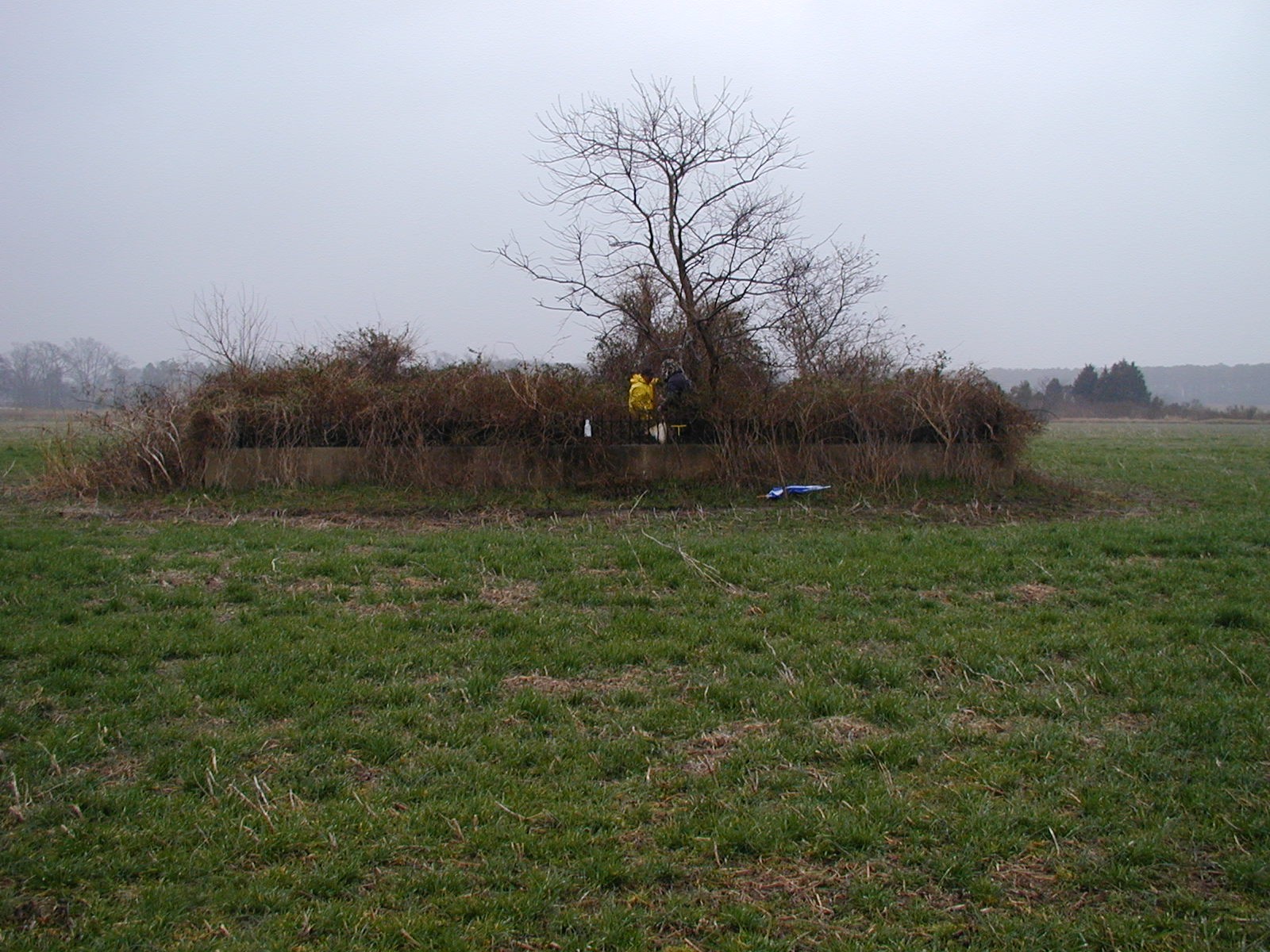
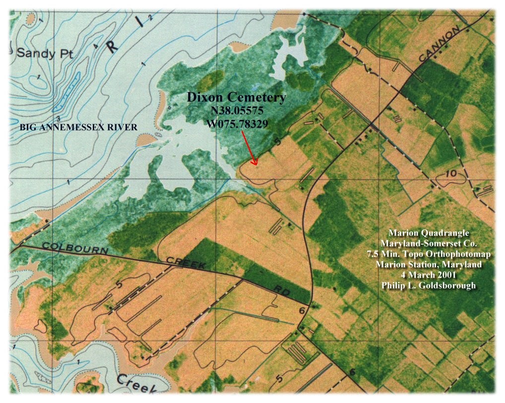
One and quarter miles North-northwest of Marion Station on Charles Cannon Road. Located near a creek called Ipsenancy creek and on a track of land called Security patented in 1739 for 405 Acres by William Dixon, a resurvey of Dickerson’s Choice . 1783 tax list, equal portions to William Dixon and Ambrose Dixon. Near the home of T.J.Dixon on the Atlas 1877 Atlas of the Eastern Shore of Maryland.
Exact location: North 22 degrees West, 3000 feet from the intersection of Charles Cannon Road and Coulborn Creek Road. 1200 feet west of Charles Cannon Road. From Marion; Traveling west on Charles cannon Road and continuing pass the intersection of Coulborn Creek Road about one half mile to a large white farm house. The burial site is located in a field in the rear of the house. Marion Quad. 7.5 Min.
Cemetery is 40ft. x 40ft. inclosed by a concrete fence with steel points.
-
Latitude
38.05575 degrees
(38 deg 03' 20.7" North) -
Longitude
075.78329 degrees
(075 deg 46' 59.8" West)
Site status: Extant when recorded in 2001, enclosed by a concrete fence with steel points. The donor notes an unmarked bricked, caved-in grave and other evidence of burials. Current status has not been independently verified.
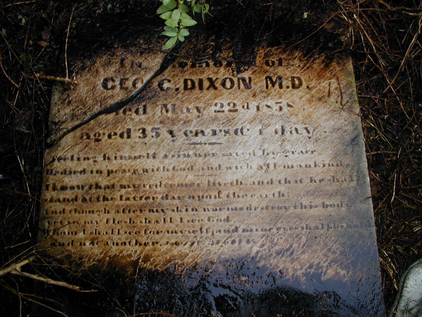
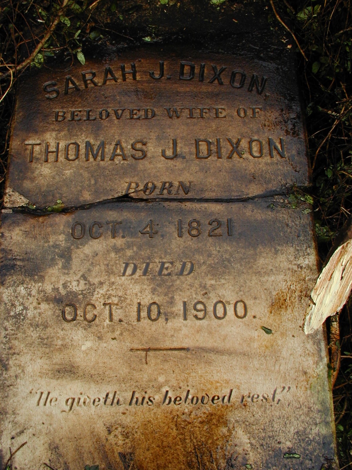
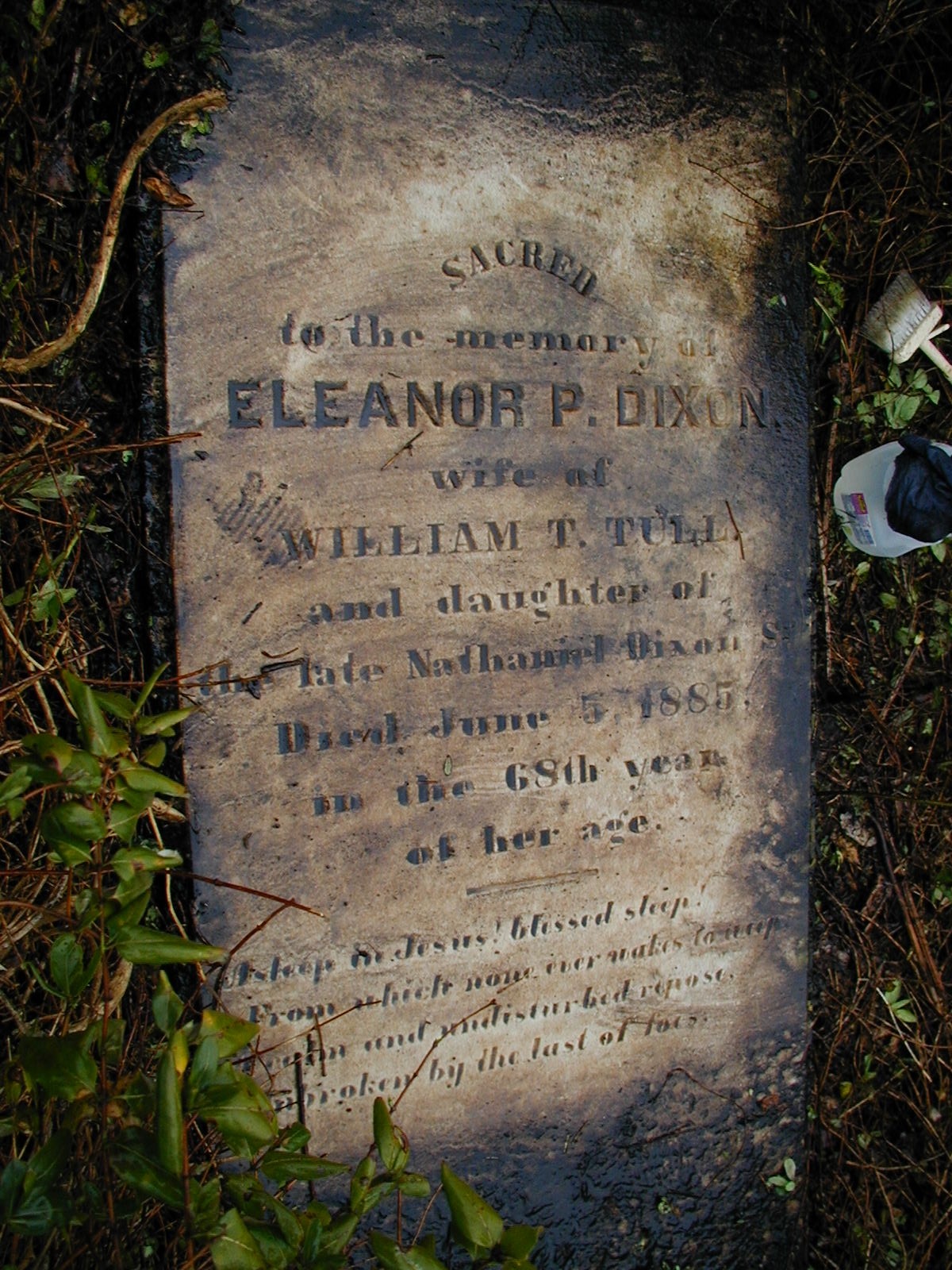
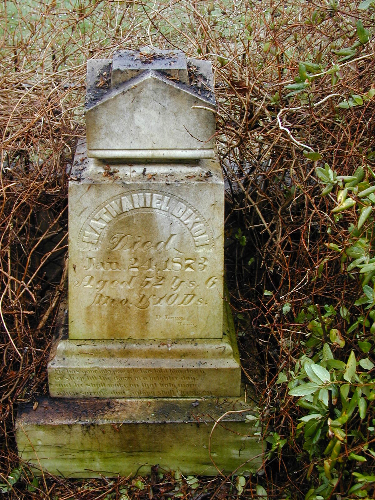
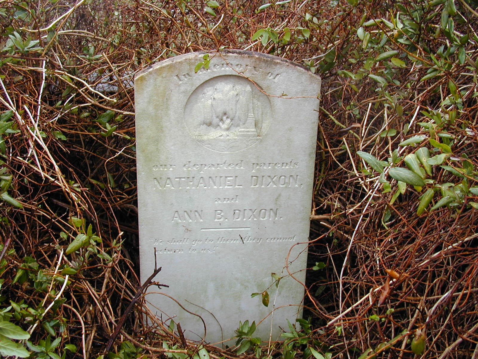
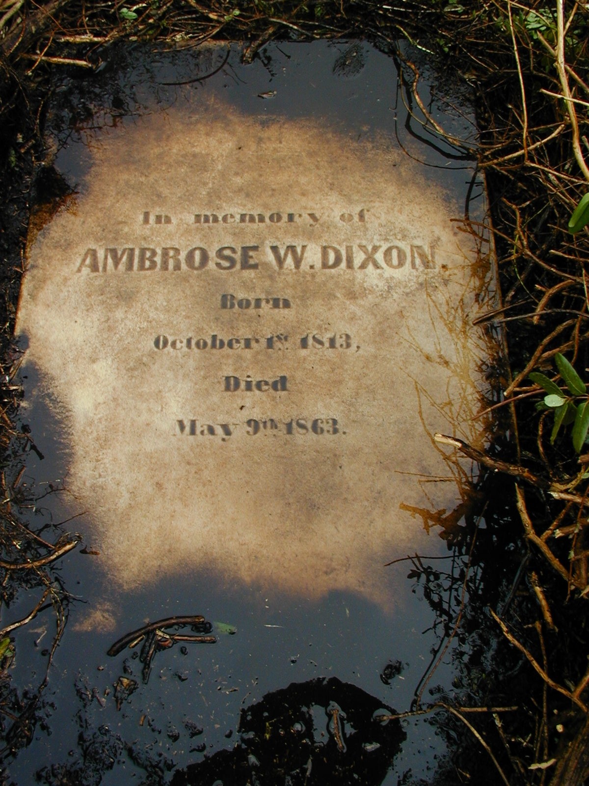
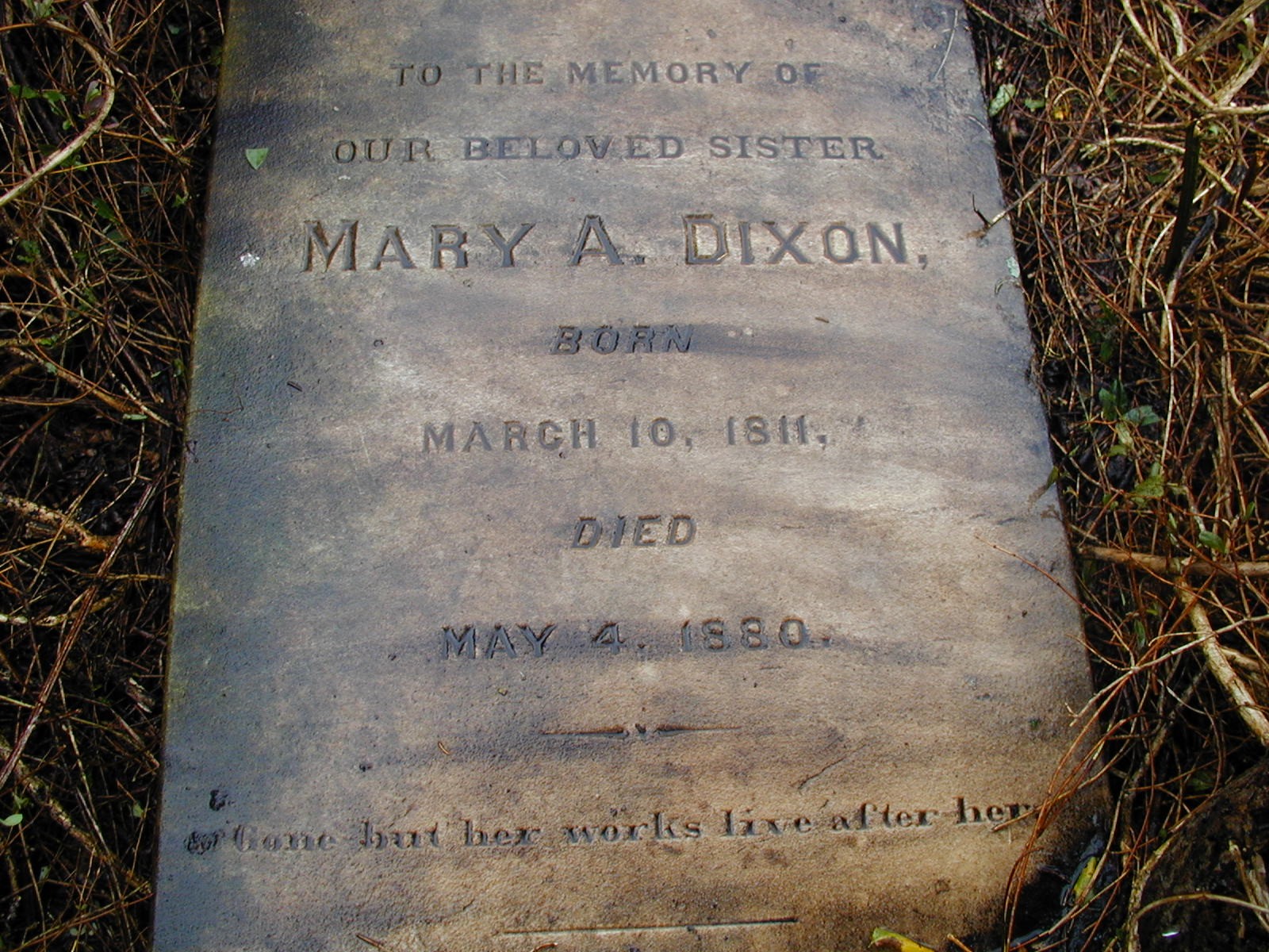
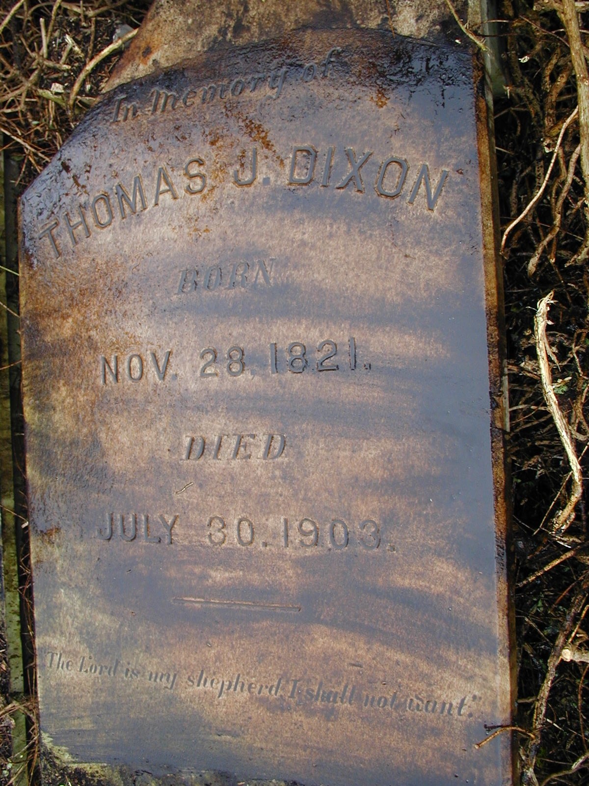
Transcription note: The grave information below is presented as recorded by the contributors. Original spelling, abbreviations, epitaph wording, and transcription notes have been retained.