Somerset Cemeteries Project
Davis Cemetery on St. Peter's Creek
Oriole / St. Peter's Creek area · 1877 Atlas map: Dames Quarter District No. 2
Cemetery No. 911-R25-North
A joint project of Somerset County MDGenWeb and Handley’s Eastern Shore Genealogy
← Back to the Somerset Cemeteries Project
Somerset Cemeteries Project
Oriole / St. Peter's Creek area · 1877 Atlas map: Dames Quarter District No. 2
Cemetery No. 911-R25-North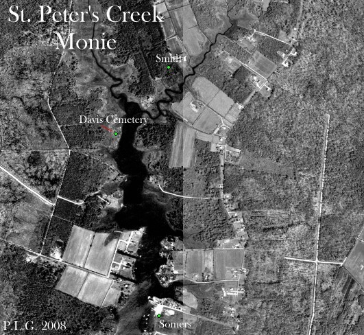
Located near Oriole on the west side of St. Peter's Creek, east of Crab Island Road, at an old farm and house site visible on 1938 aerial photographs. The site lies within the tract called St. Peters Neck, patented to Peter Elzey on May 2, 1663 for 400 acres. The contributor notes place it near the homes of J. C. Smith and T. J. Davis on the 1877 Atlas.
Transcription note: The wording, spellings, uncertain readings, and bracketed field notes below are retained from the contributor record. Obvious formatting artifacts from the old word-processing file have been removed, but uncertain text has not been silently corrected.
Transcription
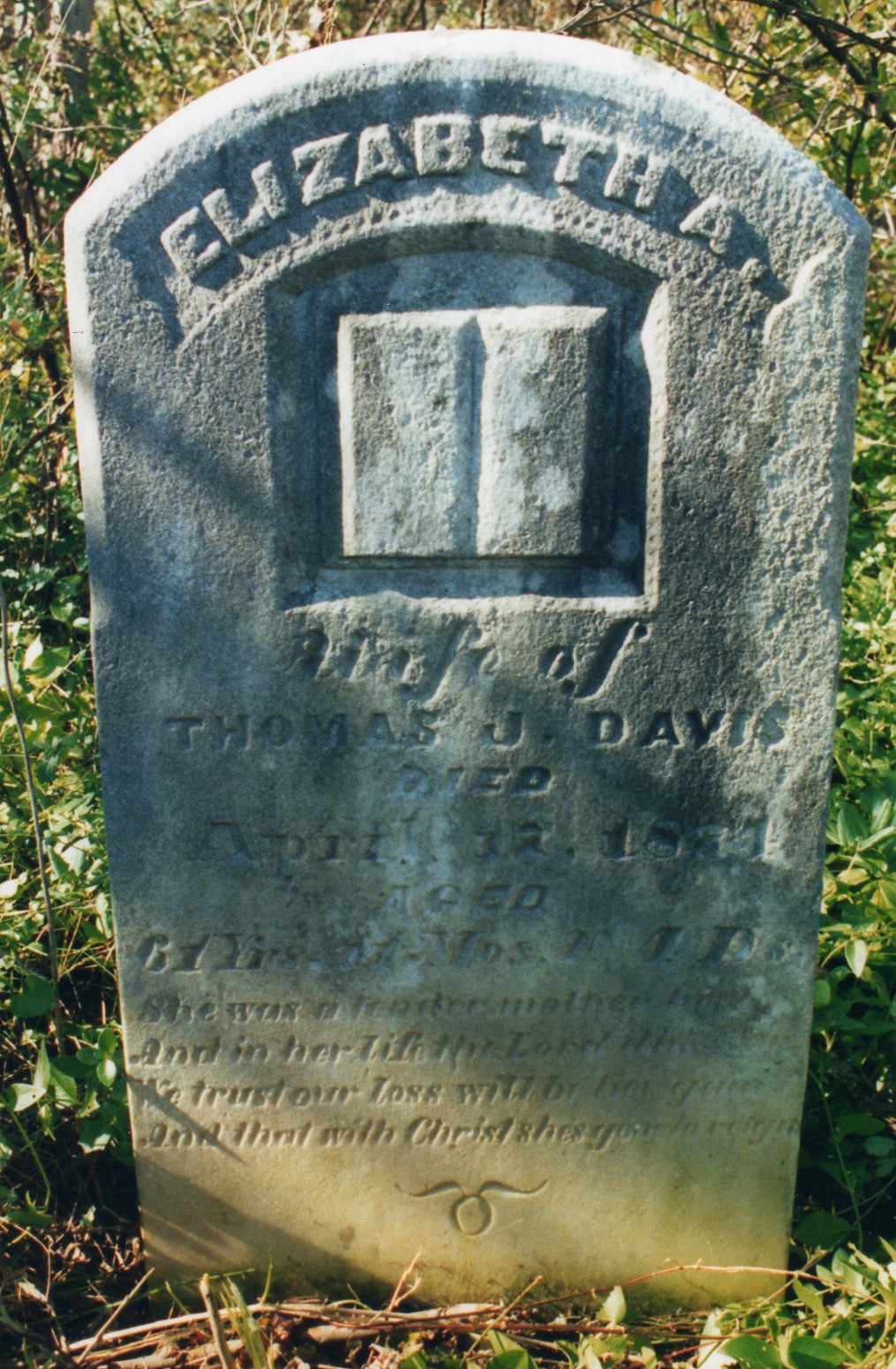
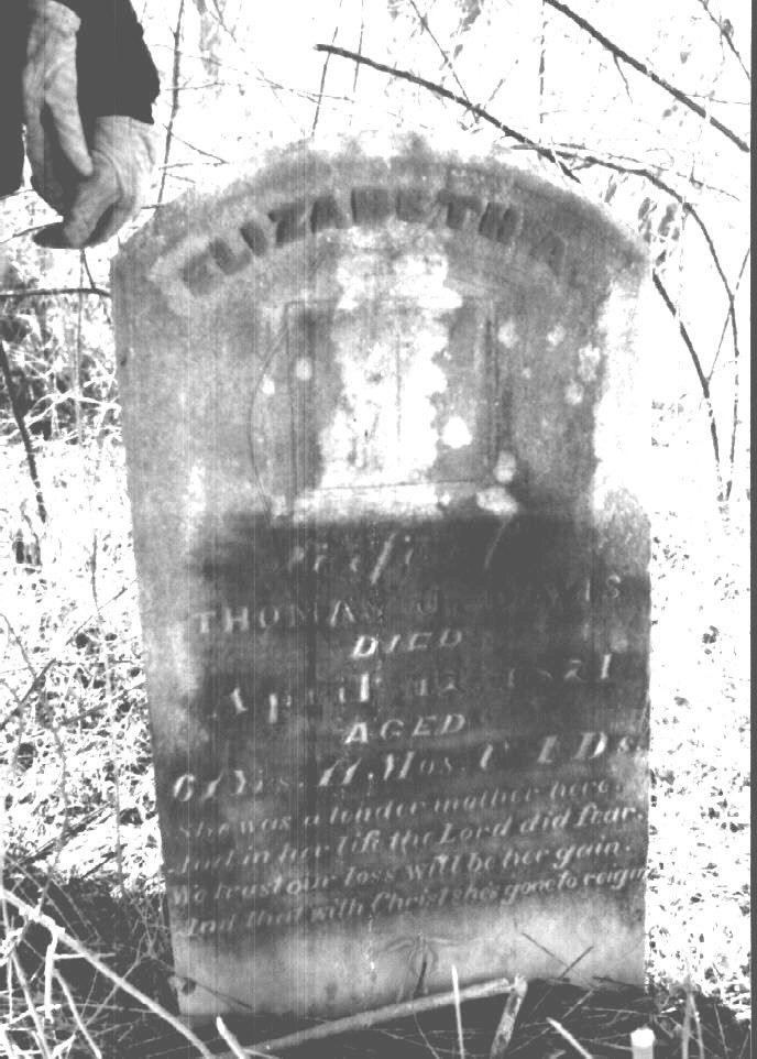
Elizabeth A.
wife of
Thomas J. Davis
Died
April 17 1871
Aged
61 yrs. 11 mos. & 4 Ds.
She was a tender Mother here,
And in her Life the Lord did fear
we trust our Loss will be her Gain
And with Christ she's gone to reign
Listed in January 1994 by Philip L. Goldsborough, Rebecca F. Miller, and Mr. Laird. The site was reached by boat and was badly overgrown at the time of the visit.