← Back to the Somerset Cemeteries Project

Somerset Cemeteries Project

Davis Cemetery

Cedar Lane Farm · Stewart’s Neck · near Princess Anne, Somerset County, Maryland · 1877 Atlas map: Princess Anne District No. 1

Cemetery No. 911-P34-NE
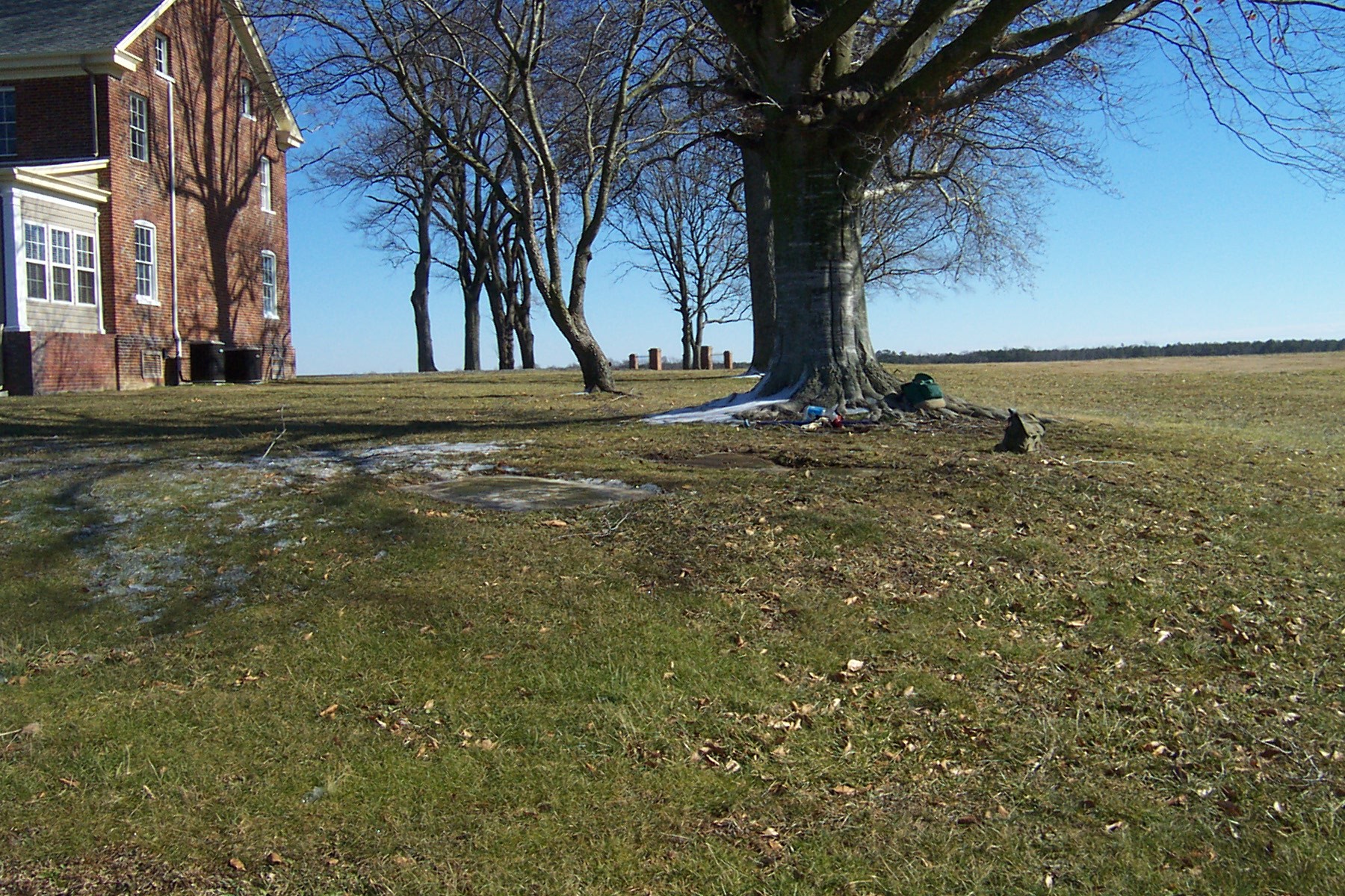
Davis Cemetery site at Cedar Lane Farm
Cemetery site at Cedar Lane Farm. Click the photograph to enlarge.

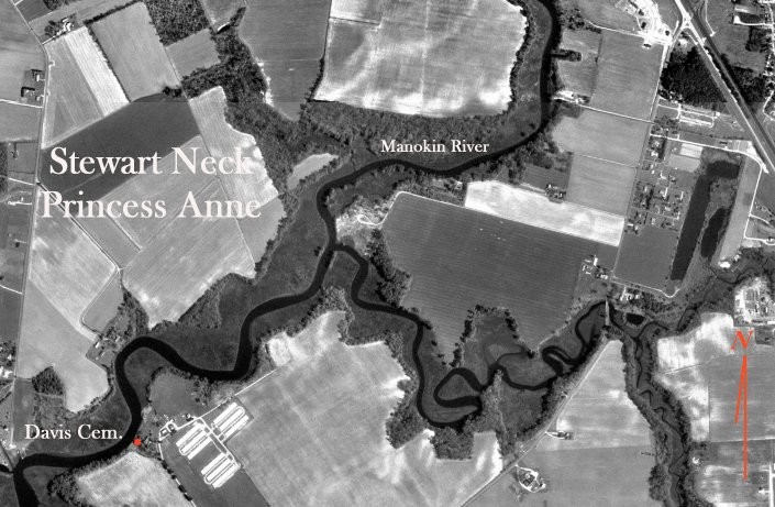
Located off Stewart Neck Road on the south side of the Manokin River, about two miles southwest of Princess Anne. The farm was known as Cedar Lane Farm in the twentieth century and appears as Stewart Neck Farm on the 1877 Atlas of the Eastern Shore .

The tract was patented under several names: Nasworthy’s Choice by George Nasworthy on March 10, 1663; resurveyed by Capt. Henry Smith on December 2, 1679, for 700 acres as part of Nasworthy’s Choice and Thompson’s Purchase , then called Smiths Recovery ; and resurveyed again by David Wilson in 1764 as Wilson’s Purchase .

  • Latitude 38° 10.663′ N
  • Longitude 75° 43.098′ W

Transcription note: The grave information below is presented as recorded by the contributors. Original spelling, abbreviations, epitaph wording, and transcription notes have been retained.
Graves Recorded

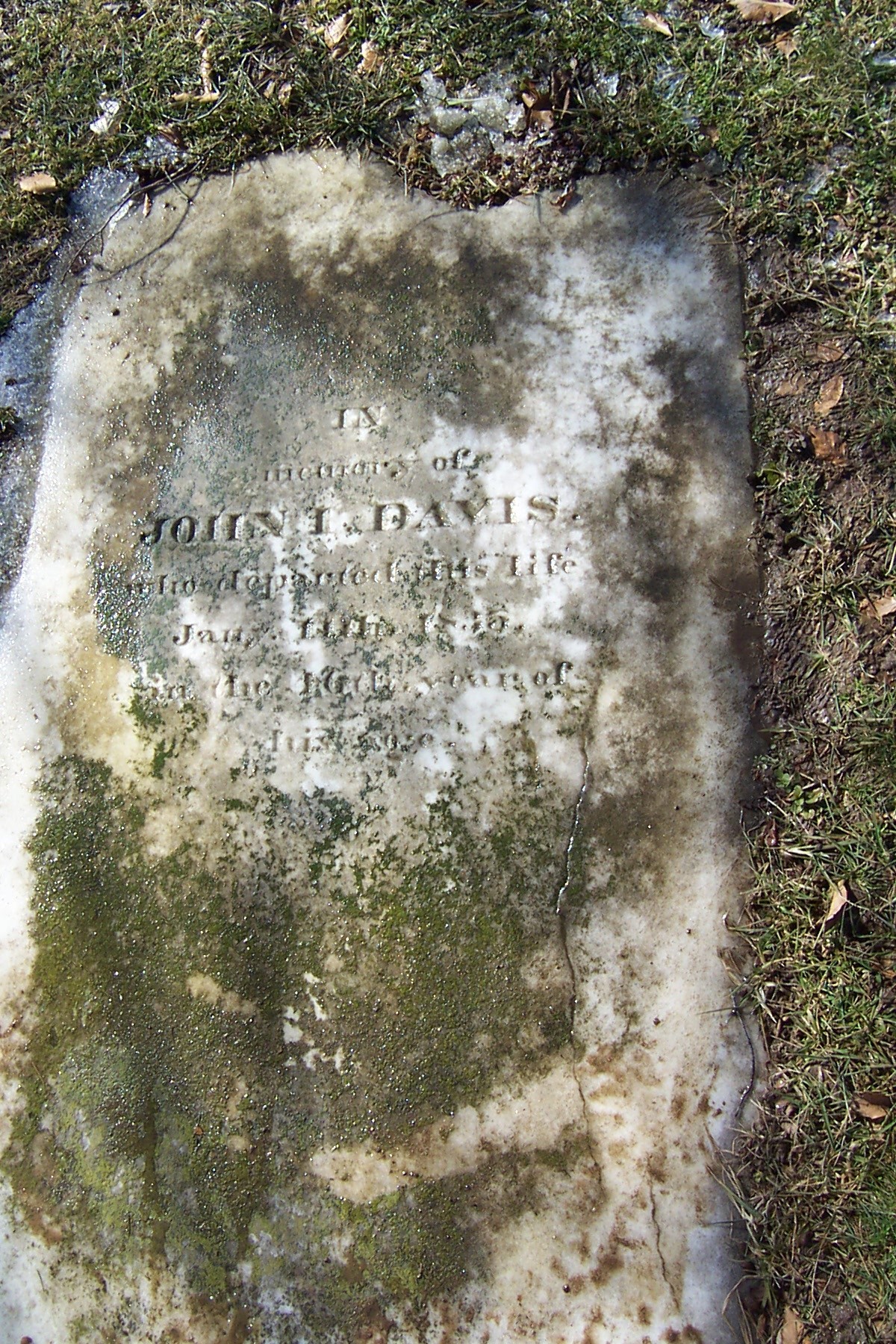
Gravestone of John I. Davis
John I. Davis gravestone. Click the photograph to enlarge.

John I. Davis

Transcription

Departed this life 11 Jany 1835
in the 46th year
of his age.

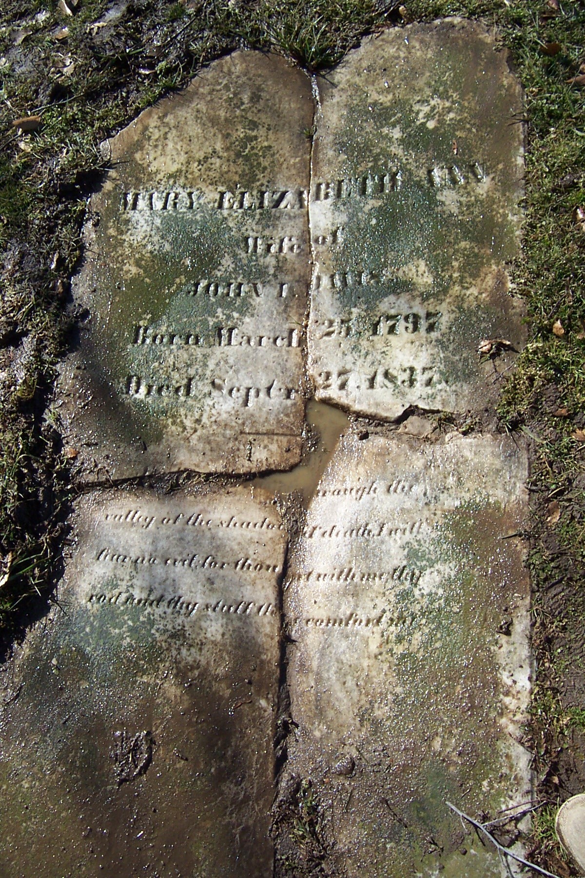
Gravestone of Mary Elizabeth Ann Davis
Mary Elizabeth Ann Davis gravestone. Click the photograph to enlarge.

Mary Elizabeth Ann Davis

Transcription

Mary Elizabeth Ann
wife of John Davis
born March 25 1797
died Sept 27 1837

Yea, though I walk through the valley of the shadow of death, I will fear no evil: for thou art with me; thy rod and thy staff they comfort me.

Cemetery and Family Notes

Listed February 22, 2003 by Rebecca F. Miller, Ed Smith, and Philip L. Goldsborough.

Transcript by Philip L. Goldsborough from photographs of the site, April 11, 2004.

Map showing Davis Cemetery at Stewart Neck
Location map for the Davis Cemetery. Click the photograph to enlarge.