← Back to the Somerset Cemeteries Project

Somerset Cemeteries Project

Blake Cemetery

Rumbley · Fairmount District No. 6 · Somerset County, Maryland

Cemetery No. 911-Z-21-W
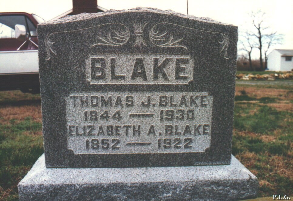
Gravestone of Thomas J. and Elizabeth A. Blake
Thomas J. and Elizabeth A. Blake marker. Click photograph to enlarge.

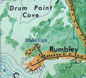
Located off Claude Hall Road in Rumbley, just south of the Manokin River near Drum Point, about 750 feet northwest of the intersection of Claude Hall and Rumbley roads. The survey places the burial ground near the T. W. Blake and D. P. Blake homes shown on the 1877 Atlas.

The contributor notes that the site was probably part of Gray’s Improvement, patented October 1, 1689 by Michael Gray, citing Ruth Dryden’s land records. A marble rectangle set into the ground is marked “Blake.”

  • Latitude38° 05′ 41.35″ N
  • Longitude75° 51′ 42.34″ W

Graves Recorded

Gravestone of Thomas J. and Elizabeth A. Blake
Thomas J. and Elizabeth A. Blake. Click photograph to enlarge.

Thomas J. Blake and Elizabeth A. Blake

Transcription

BLAKE
Thomas J. Blake
1844–1930
Father

Elizabeth A. Blake
1852–1922
Mother

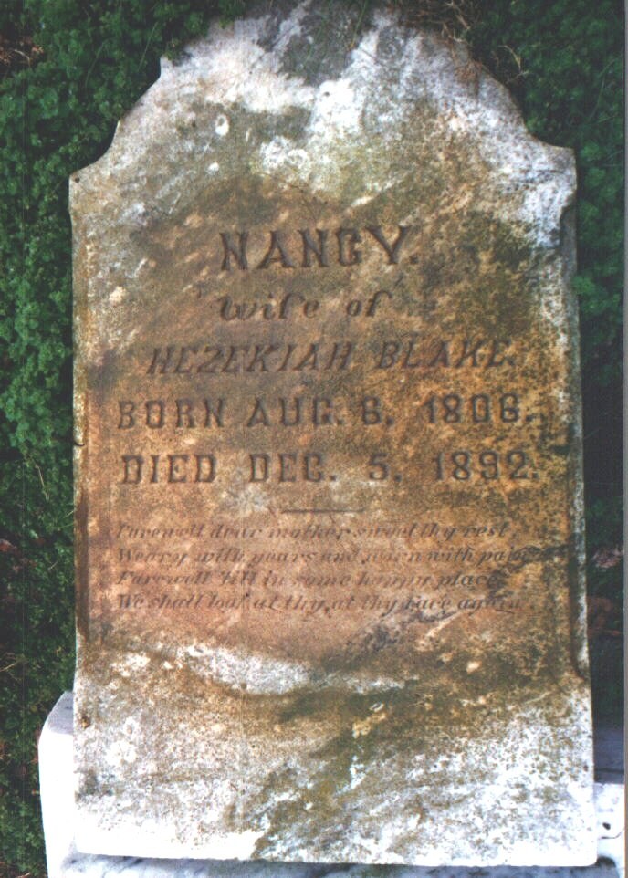
Gravestone of Nancy Blake
Nancy Blake. Click photograph to enlarge.

Nancy Blake

Transcription

Nancy,
wife of
Hezekiah Blake
Born Aug. 8, 1806
Died Dec. 5, 1892.

Farewell dear mother sweet thy rest,
Weary with years and worn with pain,
Farewell til in some happy place
We shall look at thy, at thy face again.

Unmarked vault

One unmarked vault was recorded beside the Blake marker.

Location Map

Map showing Blake Cemetery near Drum Point Cove and Rumbley
Contributor map showing the cemetery near Drum Point Cove and Rumbley.

Documentation History and Source Material

  • 2 March 1997: Listed by Philip L. Goldsborough and Rebecca F. Miller.

Original contributor transcription: Blake Cemetery (PDF).